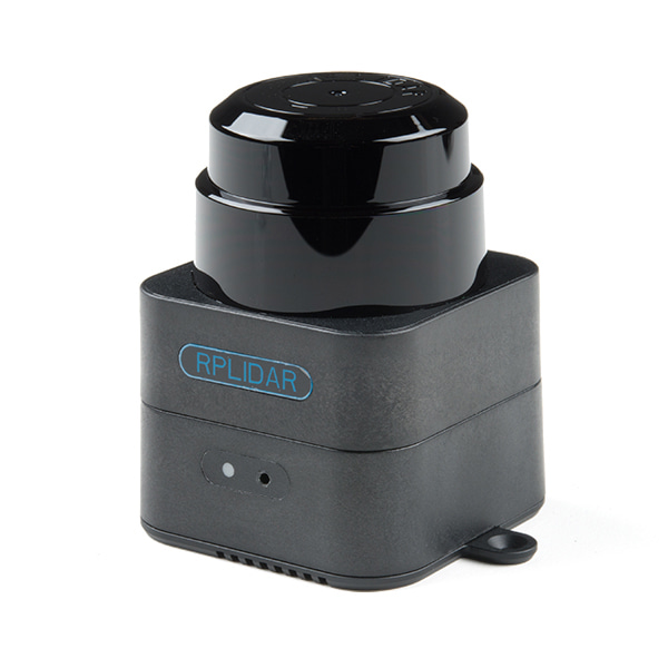
산업용 M2M1 프로 라이다 매핑 센서
(Slamtec Mapper M2M1 Pro - LiDAR Mapping Sensor(Industrial Grade))
개요
- 본 제품은 산업용 M2M1 프로 라이다 매핑 센서입니다.
- SLAM(simultaneous localization and mapping) 기능을 내장하고 있어 로봇 네비게이션 및 포지셔닝, 주변 매핑 및 측정 등의 어플리케이션에 사용이 가능합니다.
- SDK 및 ROS 노드를 통해 빠르게 사용자 프로젝트에 적용이 가능합니다.
특징
- Distance Range: 40m measured at 92% reflectivity
- Sample Rate: 9200Hz
- Max Mapping Area: 300m x 300m
- Resolution: 0.05m
- Max Moving Speed: 2m/s
- Re-localization Accuracy: <0.02m
- Map Optimization Duration: About 1 hour
- Slope Angle: ±3°
- Data Refresh Rate: 10Hz
- Dimensions: 57mm x 77mm x 75mm
-
The Developer Kit uses SLAMTEC's unique SLAM optimization algorithm and high-performance LIDAR to fuse map data more than 10 times per second and construct up to 100,000 square meters of mapping area. The LIDAR carries out 9200 measurements per second, and the longest ranging distance can reach 40 meters. The built-in processing system can process data in real time and output high-precision map and pose.
The SLAMTEC Mapper uses SharpEdge™ fine mapping technology, which can actively detect and correct closed-loop, and achieve 100,000 square meters high-precision map and pose. The Mapper can work without additional sensors or data input. Because of the built-in 9-DOF inertial navigation system, the SLAMTEC Mapper in the hand-held mapping mode can work normally in fluctuating environment with inclination, to ensure the best map data quality.
Also provided is a complete SDK development kit that prodives mobile phone and PC-side evaluation tools to facilitate users to expand development and data acquisition. At the same time, combined with the supporting ROS driver, the generated map and pose data can be directly used in the ROS environment, which is fully compatible.